our services
GIS, REMOTE SENSING AND INFORMATION TECHNOLOGY

Web GIS

Drone Mapping

Land use/Land Cover

Coastal Zone
DEM Extraction

Urbanization

Office Management Solutions

Consulting and planning for ERP
System Integration
WATER RESOURCE
Water Supply, Sewerage & Drainage Networks

Hydrology and Hydraulics
Meteorological Analysis

Flood & Drought

Climate Change
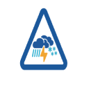
Hydro-Meteorological Hazard Assessment
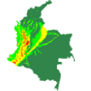
Hazard and Risk Mapping

Physical and Numerical Modeling
IRRIGATION, AGRICULTURE & ENVIRONMENT

Dams & Reservoirs

Land Degradation

Crop Monitoring

Environmental & Social Impact Assessment

Solid Waste Management
Water & Sanitation
SURVEY INVESTIGATION AND FEASIBILITY
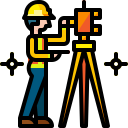
Land Survey & Mapping

Hydrographic and Geodetic Survey

Preliminary Investigation

Hydrological Survey
PROJECT MANAGEMENT

Project Monitoring & Coordination

Bidding Documents
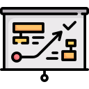
Project Planning

Project Support

Organizational Change Management

Value Engineering